Sunday, February 4, 2018

Paria, Utah

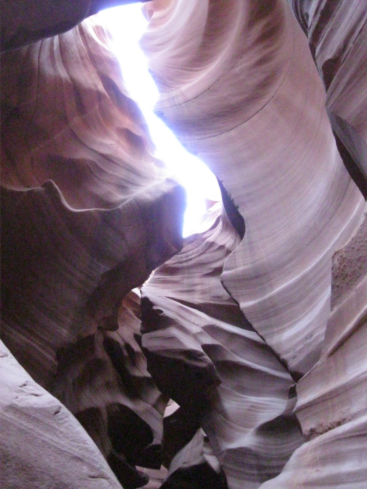
     Are you ready for another history lesson? It's hard for me not to go a little crazy with it because it's all so interesting to me :). And ghost towns are especially fascinating!
     The area was first settled in 1865 by a Mormon group. Farming produced good crops for several years, but irrigation was very difficult; each spring the surface runoff water was absorbed into the desert soil too quickly to properly water the fields. In 1871, John D. Lee ( the same one from Lee's Ferry) came to the Paria area, fleeing investigators of the Mountain Meadows massacre. He constructed a dam and irrigation ditches.
     Paria grew through the 1870's, gaining a general store, a church, a number of sandstone houses, and many log houses. The population grew to 47 families. The town hit hard times in the 1880's, however. The Paria River flooded every year from 1883 to 1888, washing away fields and even some buildings. People started to move away. By 1892 there were only eight families left, but for some reason the town was granted a post office that year. Not much changed until a small gold mining operation was established here in 1911. Within a year, that too was wiped out by flooding. The post office closed in 1914. A lone bachelor prospector held out until 1929, then Paria was empty.
    In the 1950's the film industry became interested in using the picturesque ghost town, with its canyon vista background, as a location for making Westerns. Crews were in a constant struggle against the flooding Paria River but several producers pushed through, up until 2007 when the last filming in Paria took place.

     According to what we'd read online, we were expecting to see a good part of the town as well as the movie set but were severely disappointed. Vandalism has been a huge issue and the movie set is completely gone and most of the town was burned a few years ago. But it's a beautiful place and well worth the visit anyhow. 

The Red Rock Saloon was right here.


The Paria River
      We could see a miner's cabin on the other side of the valley so we started off in that direction. We had to cross the river, which was fairly easy since it wasn't high at all. Many places it was wide and shallow so Eldon carried the children over and our feet stayed almost dry. Emily managed to sink in mud to the tops of her boots while waiting for us all to cross so she was wet, lol.

     The saddest part of the day happened here. My parents gave us money for Christmas and we purchased a Garmin eTrex 10. It's a fabulous little GPS device that tracks your exact steps even when you don't have cell service. It's also got elevation and a mileage tracker. We've only had it about 2 weeks and knew we never wanted to be without one again, especially in all these desert canyons! But, we are nearly positive it fell in the river when crossing. We retraced our steps and even searched in the river awhile but eventually accepted that it was gone for good. Eldon immediately ordered another one when we got home, as well as a strap this time. Highly recommend this device if you do much hiking at all!
Garmin eTrex 10

What a great living room view!
We made it to the miners cabin!

Enjoying a snack.

The cellar behind the house.

The miner's cabin. It blended in so well!

Amazing red streaks were in all the surrounding mesas.

An ugly reminder of the people who destroyed the town by fire :(.

Lonely fence posts slowly rotting.

The remains of a rock house.

In the river bed.
     Paria is a lovely ghost town even though there isn't much left. Hiking trails are also lacking but it's a peaceful valley to spend the day in. We enjoyed a picnic before heading home. I'm hoping we get a chance to go back and do more poking around. There's also a cemetery there that we didn't investigate at all and I love old cemeteries and imagining so..........another day!

Lower Antelope Canyon

We've been told multiple times that we must see Antelope Canyons while we're in Page. So we did! After doing research (aka, a quick Google search), we opted for Lower Antelope instead of Upper because Lower is cheaper, less crowded, deeper, and you get to climb ladders and steps. We chose Dixie Ellis Tours and had a great experience.

Reasons to go:
#1. It's stunning, beyond words or pictures.
#2. Our Navajo Indian was extremely knowledgeable at explaining every little bump. Plus, all my good pictures he took!
#3. It's just downright fun to be 100 feet in the earth and look waaaaay up and see the sky!
#4. Climbing all the ladders is great exercise and the children thought it a great adventure.

Reasons I would have a hard time going again:
#1. People. So many people. While we were the only ones in our group, we were waiting on the group right in front of us and had another group crowding us from the back. This was at 8:45 on a Thursday in February!
#2. My pictures are an embarrassment. Our guide adjusted the settings on my camera but it still did a terrible job. If I had it over to do with, I would have put the camera away and just totally soaked up my time in the canyon.
#3. Cost. Makayla was the only child we had to pay for and our tour cost $135. 

6 flights of steep stairs to get to the bottom!

Lots of places were even more narrow then this!


Numerous flash floods hit the canyon every year and then they have to close it and clean out sand and rocks. When it completely floods, water at the bottom is flowing through at 90 miles an hour! 

Ethan refused to look for every single picture :).


See Clark the Shark from Nemo?


So many cool waves!


 The canyon changes with each flood. As it wears and breaks away in places, in also deposits sand and minerals in other places. So basically, it self-repairs!

Don't forget to give your guide a tip at the end!


I'm glad we went but I'm also looking forward to find more canyons to explore on our own :).

Wiregrass Canyon

So far most of our "things to do" in the Page area have come from brochures we've picked up at the welcome and visitor centers around here. However, we've nearly exhausted those lists and I've spent ridiculous amounts of time searching the internet for blog posts about this area and as a result, learned about some really neat places!

Wiregrass Canyon was one of those.  From Page, drive north on Highway 89 about 12 miles to Big Water, Utah. Between mile posts 7 and 8, turn right. Turn right again in 0.3 mile, at the sign reading, “Glen Canyon Nation Recreation Area – State Highway 12.” Drive 4.6 miles to the Wiregrass Canyon Trailhead. 

The road is gravel and rough but the views well worth it!

The sign marking the trailhead.

Heading down into the sandy wash.

It was a lovely walk!

Emily and Ethan ran and ran!

Do you see the "dragon-headed ship"?

Such cool geology! I wonder how many years before the rock on top topples?

And then we found some "lacy" rocks.


Much to our delight, we entered a slot canyon. Places were extremely narrow and we had to work together to get through parts of it. The walls were covered with these strange little holes, a result of water running through during flash floods. 


This stuff was so slick!

An arch!
 A little farther we found an arch. Two canyons ran nearly side by side for just a little ways but the water busted through this wall and now the water all comes through the arch into the one canyon.

Makayla :)

Back in the slot canyon! Makayla thought it looked like skeletons.

Poor Emily had to work hard to smile since she was sure she was starving since she hadn't eaten in 15 minutes :).

I wanted someone to stand here for size perception but they were all to excited to get to the hard part and ran ahead.

Pulling each other up. Naturally, I was the only one that had trouble and had to try several times!

     This is an easy walk except for getting in and out of the slot canyon. The canyon goes for 3 or more miles towards Lake Powell but we only walked 1.5 miles before turning around. It was hard to turn around instead of checking what was around the next corner :).

Thursday, February 1, 2018

Glen Canyon Dam Tour

The first two times we wanted to do the tour of Glen Canyon Dam, the elevator to the bottom of the dam was not working so we opted to wait. I mean, who wouldn't want the chance to go inside a massive dam if given the chance. Side note, if both elevators went out, workers need to use the 53 flights of steps to get up and down! Their other option is to drive about 5 miles around and come in the 2 mile tunnel, which is what most of the guys that work in the powerhouse do anyhow. There's just no quick way up to the top!

We showed up for the 9:15 tour and were delighted to beat the crowds and only have 2 other couples join us. Tickets only cost $5 each and seven and under are free so we only needed three tickets. The children were SO excited to go through security and thought it hilarious that Eldon had to be wanded down because of his steel toe boots :).

On top of the dam.
 Our guide first took us 80 feet down from the visitors center to the top of the dam. He shared so many interesting history facts as well as current information that my head was soon swimming trying to remember it all.

One of the 8 original turbines in the dam.

One of the buckets used to pour concrete in the dam. These were suspended on cables so they could quickly get concrete in whatever section they needed.

A closer look at the turbine.

A rock bolt.
      A rock bolt is a......well, a bolt that they put in the canyon walls to hold rocks up. When the dam was built in the 1950s, "high-scalers" were hired to go down the canyon walls with ropes and use jack hammers or dynamite to knock the loose rocks down. Next, they pre-drilled a hole and inserted a rock bolt 40-75 feet into the wall at places where cracking was likely. Since this was such a dangerous job, high-scalers were paid the large sum of..........$3.25 an hour!

Lake Powell
     The lake has been full several times and the high water mark can be clearly seen here. Currently it's at about 50% full.

Looking up at the bridge from the top of the dam.
      We walked half-way across the dam then took the elevator down. It took over a minute and was Ethan's favorite part! Our guide explained how there is hallways all through the dam and they use them to keep a check on things and do repairs. As a kid, he was able to race freely though the miles and miles of tunnels in the dam but now no one but employees is allowed in.

2 acres of Bermuda grass!
      To the left is the dam and the on the right is the substation where the generators are. Instead of having the huge pipes exposed that carry water through, they put dirt and grass on top of it! It's got a sprinkler system and in the summer gets moved about every 10 days. Last year they hosted an Easter Egg hunt for the town kids down here so we're hoping they do that again :).

Looking way up at the bridge from the bottom of the dam!

Vegetation growing on the canyon walls.

8 massive generators! We couldn't go in but looked through a big window and watched a short video on how they work.

A map of where the electric goes. Makayla thought it was so cool that Montrose, CO where her cousins live get electric from here!

Workers use bikes like these to ride the miles of tunnels in the dam.

     Touring the dam was a great experience and we'd highly recommend to anyone coming through the area!